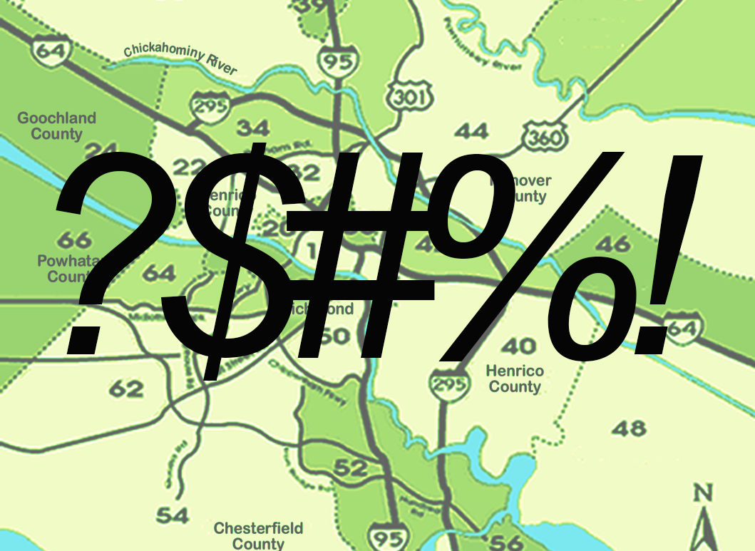
Richmond MLS areas are more than just a way to confuse you
When I moved to Richmond and began working in real estate, one thing had me very confused. Real Estate Areas (or zones).
What in the sam hell?
It wasn’t enough that I needed to figure out what I was looking for in my first house—but I also needed to know what zone it was in?
“Zones can cast a wider net than just a neighborhood, making them beneficial for a community-wide search. ”
At one point, back in the day, it was a tidy way to organize real estate searches. But now, as our community has grown and technology has advanced, it doesn’t seem as effective an efficient as it perhaps once was.
What is helpful, though, is that the zones can be different, regardless of county—and can cast a wider net than just neighborhood. For all it’s idiosyncrasies, it does have that going for it.
As an example, Henrico county has several zones, both West and East. The same with Hanover, Chesterfield and the city of Richmond. This is beneficial because while you may be interested in living in Richmond City, you may only be interested in the Northside (area 30) or Church Hill (area 10), but not at all interested in tony neighborhoods in Zone 20
A few key things to note about getting around and across the region before we get into the breakdown.
There are six counties in the Richmond region: Amelia, Chesterfield, Goochland, Hanover, Henrico and Powhattan
The region is comprised of four independent cities: Colonial Heights, Hopewell, Petersburg and Richmond CIty
Henrico County encloses Richmond City to the North, West and East, resembling an old-fashioned telephone receiver.
Main highways are I-95, runs north/south and I-64, runs east/west.
1-295 bypasses the city and connects to I-64 (to the north) and I-95 (to the south).
Primary highways include: Rt 288 (Southwest side of RVA); Route 195 (Downtown Expressway)
It may seem daunting. No worries, though! Here’s a breakdown of the areas so you can organize your real estate search in RVA.

